|
In 2018, Wisconsin designated the road through the Bayfield Peninsula as Wisconsin’s fourth scenic byway. Named the Wisconsin Lake Superior Scenic Byway, this 70 mile segment of State Highway 13 winds its way around the South Shore of Lake Superior and provides sweeping scenic views of beautiful forests, pristine beaches and the “big lake” itself. Along the way you will visit quaint harbor towns full of historic architecture, historic fishing villages, small orchards and fruit farms and the home of the Red Cliff Band of Lake Superior Chippewa. Bayfield, at the center of the byway, is the gateway to the Apostle Islands National Lakeshore and the Gaylord Nelson Wilderness Area.
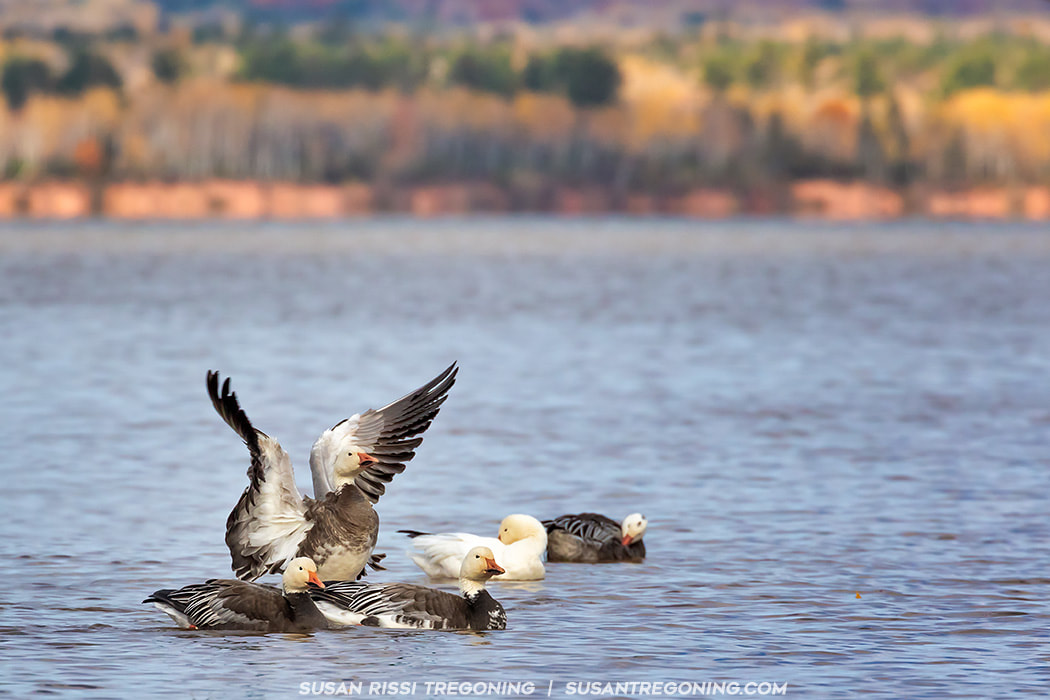
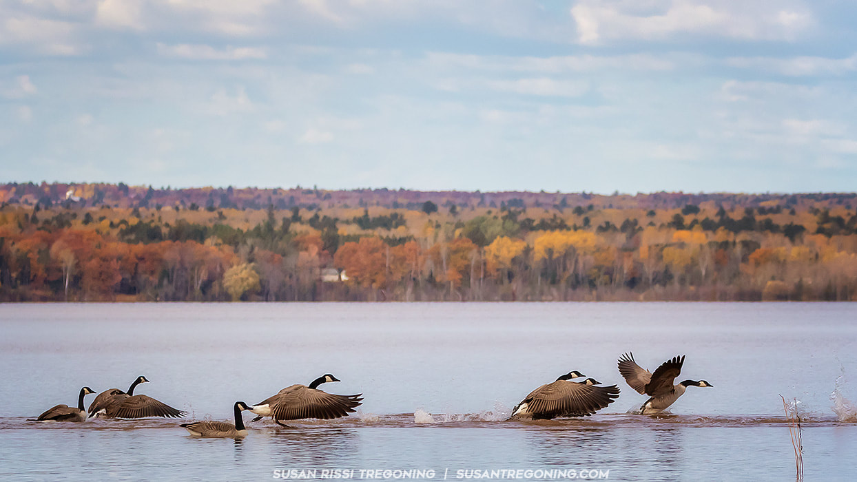
Known as a fantastic summer destination, I decided to visit in autumn to experience the Bayfield Peninsula in a way that so many visitors never get a chance to do. It is a much quieter time with most of the tourist destinations closed but it's a great time to "get back to nature" and the fall colors are off the wall!
The Wisconsin Lake Superior Scenic Byway begins at:
Whittlesey Creek National Wildlife Refuge - The Coaster Brook Trout spawn here. It is one of the twelve fresh water estuaries that are known at the "String of Pearls" that exist along the Lake Superior shoreline. These lands are an important habitat for migrating warblers. Chequamegon Bay, which is immediately adjacent to the refuge is a prime viewing area for migrating waterfowl. While here, visit the Northern Great Lakes Visitor Center at 29270 County Highway G, Ashland, WI. They are open daily from 9 to 5. It's one of the few places open to get tourist information on the off season. There's is a nice museum here. There are Kiosks located in each town where it is possible to pick up some information. I'll list the location of each, some are kept stocked and others not.
The 7.5 mile drive to Washburn parallels the shoreline of the Chequamegon Bay and crosses numerous streams that flow from the highlands. The landscape provides a delightful mix of Lake Superior views, wetlands and farmland.
Washburn Information Kiosk: Thompson's West End Park
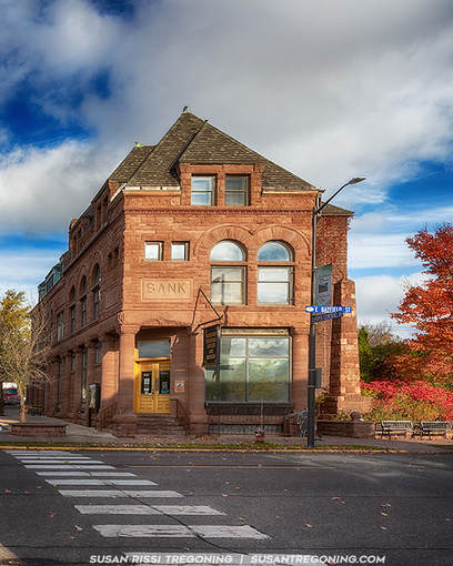
In town there are 3 brownstone buildings listed on the National Register of Historic Places:
Bayfield County Courthouse - 117 E 5th Street Washburn Historical Museum and Cultural Center (Bank of Washburn) - 1 E Bayfield Street Washburn Carnegie Library - 307 Washington Avenue 
The Bayfield County Courthouse was built in 1894-95 for the cost of $31,737. It was constructed out of Brownstone, reddish-brown sandstone that is made up of quartz sand and found along the south shore of Lake Superior. In fact, the first quarry in the region was established on Basswood Island (one of the Apostle Islands) in 1868. This striking Neoclassical building has a domed cupola, a portico with Corinthian columns at the front entrance and quoins at the corners. It was added to the National Register of Historic Places in 1975.
East 3rd Street in Washburn is a Residential Historic District and listed on the National Register of Historic Places. Homes here date from 1885 through 1950. The majority of these homes were built between 1916 and 1918 by the DuPont Company for their employees that worked at their dynamite plant that was just south of town. It was the largest dynamite plant in the world during World War I.
The historic section of 3rd Street stretches between Central Avenue and 6th Avenue. The Washburn Historical Museum and Cultural Center sits at the corner of Central and Bayfield, turn here and the next road up is 3rd, turn right on 3rd Street. The district contains 26 single-family houses, four duplexes and an apartment building. A few of the houses worth noting are: 13 E 3rd - This is the earliest Queen Anne home. It was built in 1885. 23 E 3rd - This is the 2nd oldest home, it is a Queen Anne Front Gable vernacular, built in 1887. 101 E 3rd - A Queen Anne built in 1893. 117 E 3rd - A Queen Anne built in 1898. 229 E 3rd - A Colonial Revival home built for the DuPont factory superintendent. Houghton Falls State Natural Area
Located about 1 mile north of Washburn. Take a right on Houghton Falls Road. There's a parking lot on the right about a 1/2 mile down the road.
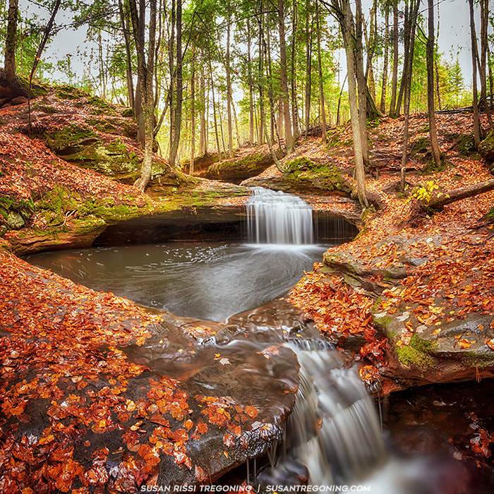
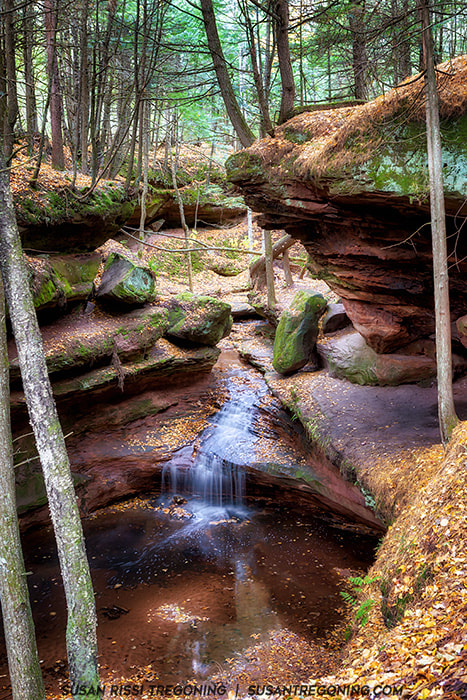
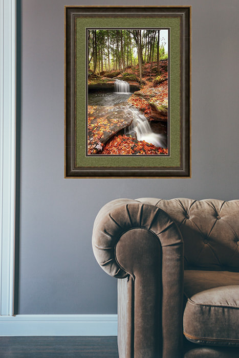
A truly magical location where you can almost imagine water sprite and fairy’s frolicking in the water. This upstream gorge is shaded by a canopy of trees and overhanging rocks with this charming stream meandering through the site creating a series of small waterfalls that cascade over sandstone shelves into a cove below.
Farther down, there is a nice partially obstructed view of Houghton Falls from the trail. The gorge walls are very steep here and I never could find a way to photography the actual waterfall.
From the falls, it is a few hundred feet farther to Lake Superior and the trail continues on to the shoreline. Bayview Information Kiosk: Bayview Beach Park
Beach frontage runs parallel to the byway for 1.5 miles at Bayview Beach Park.
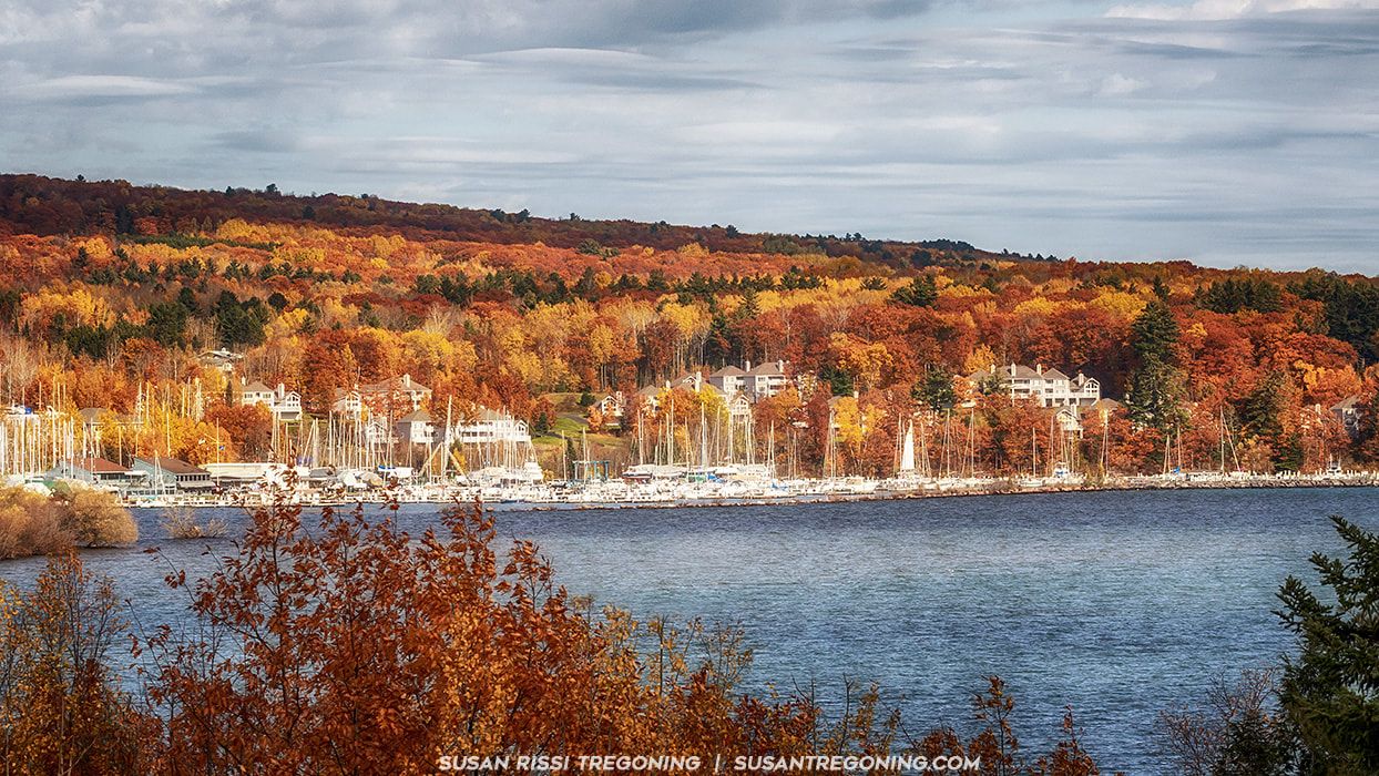
Just north of Bayview there are magnificent vistas of Lake Superior, the Apostle Islands, Pike's Bay and the Port Superior Village Marina. Town of Bayfield Information Kiosk: Salmo Trail
Bayfield is "L Shaped" so you will drive through two separate sections. Entering the section north of Bayview, you are greeted by a magnificent vista of Lake Superior and the Apostle Islands as the Byway climbs into the hills of Bayfield and hugs the shore of Lake Superior.
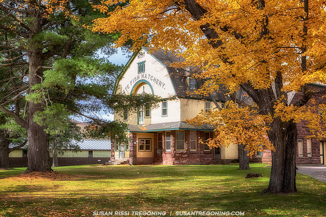
Late fall at the Les Voigt State Fish Hatchery where the beautiful autumn leaves are still on the trees and there are snowflakes in the air. This impressive 1897 Victorian Shingle style building sits at the Hatchery entrance. The building is still used today for supplemental fish rearing space but the majority of operations are now in the newer building behind this one. Built from local brownstone, this building played a historically significant role in the fishing industry on Lake Superior. It was listed on the National Register of Historic Places in 1981.
Les Voigt State Fish Hatchery - 83875 HWY 13, Bayfield
The Les Voigt hatchery raises lake trout, splake and brown trout for stocking in the northern great lake and many inland lakes and streams throughout Wisconsin. It is open 8 - 4 daily from April through October. Salmo Lake Walk Trail - 83645 State Hwy 13, Bayfield A 1.5 mile trail with interpretative signage along its route leading to a sand beach. It is across the highway from the Les Voight Fish Hatchery. The Fruit Loop
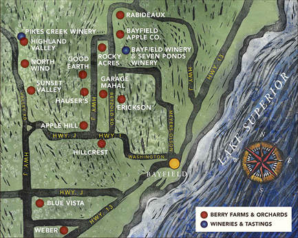
I did not find this map until we were at one of the Orchards. Every location on the Loop has it hanging on their wall. It would have been nice to have this on hand for the drive.
You can print your copy of the brochure with all the addresses and information HERE from the Bayfield Tourism website. For more information, Check out Bayfield's websiteHERE. I didn't have time to visit all the locations on the loop but I thought the Bayfield Winery had a very interesting presentation of their wines. We also stopped in at Copper Crow which is a vodka distillery and not part of the loop. (For Copper Crow, see the info under Red Cliff) I visited a couple of the Orchards but selected those for their interesting barns. On a recommendation from a local, we also stopped at Erickson's for cider donuts and hot cider which were both very good. We picked up a couple of apple cookies at Erickson's that were really outstanding! Very rich, they were more like apple cake with a cream cheese icing.
Hauser's Superior View Farm
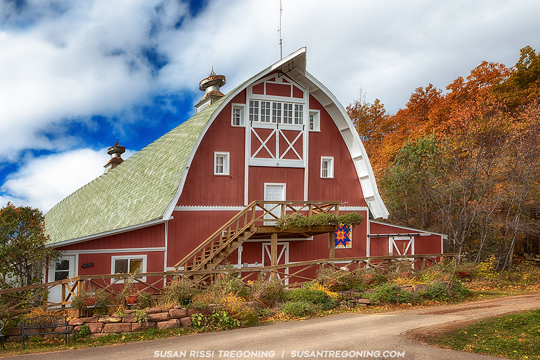
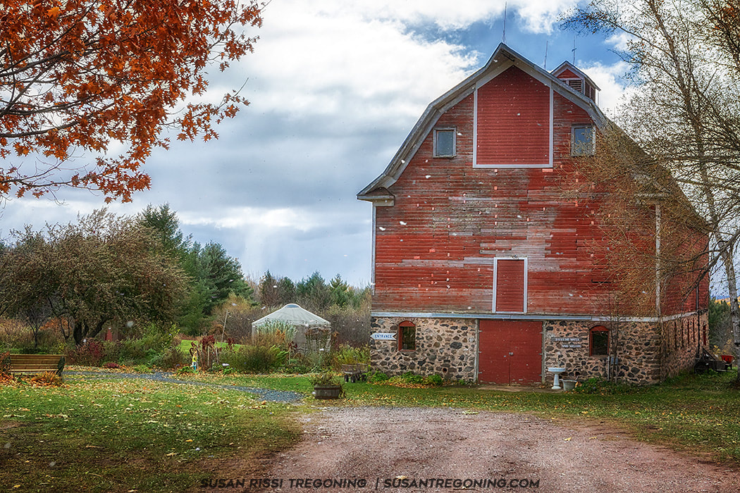
This cute red barn was purchased from the Sears Roebuck catalog for $896 in the early 1920’s. It was shipped by train to Bayfield, Wisconsin where it was then hauled 600 feet up the hill from Lake Superior by horse drawn wagon. It housed pure bred Golden Gurnsey cows until the 1950s. It is still owned by the same family and is now the store front for Hauser’s Superior View Farm.
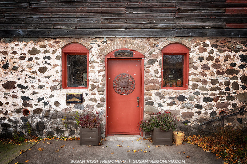
Blue Vista Farm
City of Bayfield Information Kiosk: East Dock Park
As you ascend a long hill into the City of Bayfield, many of the remaining Apostle Islands come into view. This is the smallest city in Wisconsin with a population of 487.
The "Gateway to the Apostle Islands", Bayfield's marina provides a ferry service to Madeline Island. This is also where the Apostle Island tours leave from when the tour boats are running. Brownstone Trail - This trail runs for nearly 3 miles on an abandoned Chicago and North Western Railway corridor from the historic downtown area of Bayfield (near the intersection of ManyPenny Avenue and S. 3rd Street) to the Port Superior Village Marina south of the city. The trail follows the shoreline of Lake Superior, hugging the brownstone cliffs that give the trail its name. Gil Larson Nature Trail - This trail is part of the Big Ravine Forest Preserve located on Sweeny Avenue. The School District of Bayfield is located at 300 N 4th Street, Sweeny Avenue starts across from the school. You'll see the trailhead access on the right. It gives you access to the bottom of a big ravine that cuts a swath through the center of the city. The hike is .75 miles long, it starts by a historic apple shed, continues under an old iron bridge and ends at a small waterfall. 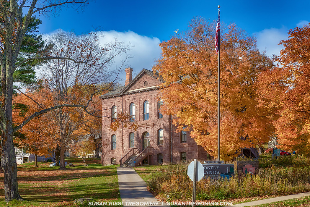
The Old Bayfield County Courthouse was built in 1884 of local brownstone with elements of Neoclassical and Romanesque Revival styles. It served as the county courthouse until 1892 when the county seat was moved to Washburn. It was later used as a school, German POW camp, community center and warehouse. It is now the Visitor’s Center for the Apostle Islands National Lakeshore.
The Bayfield Historic District spans 60 blocks, many of the city's historic structures were built in the late 1800s and are listed on the National Register of Historic Places. It is a village of quaint cottages and magnificent Victorian homes in addition to well-preserved historic architecture. For an extensive architectural walking tour, you can download a free 49-page booklet HERE.
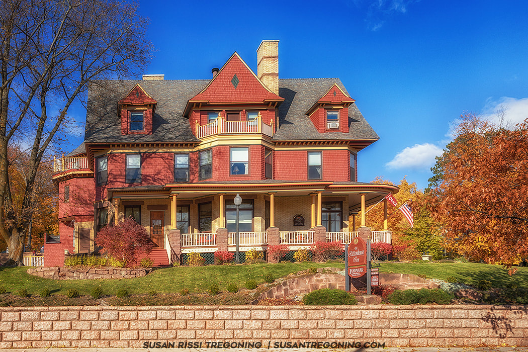
I only had time for the architectural highlights: Old Bayfield County Courthouse AKA Apostle Islands National Lakeshore Visitor's Center - 415 Washington Street Christ Episcopal Church - 121-125 North 3rd Street Booth Cooperage - 1 East Washington Street Frank Boutin Jr. House AKA Rittenhouse Inn - 7 Rice Street
Leaving Bayfield the Byway enters the Red Cliff Band of Lake Superior Reservation. The Red Cliff Band is one of 154 Bands of Anishinaabeg that reside around the Lake Superior region in the United States and Canada. The Tribe has approximately 60 square miles of watershed/shoreline area, 46 miles of streams and rivers and 22 miles of Lake Superior shoreline.
Red Cliff Information Kiosk: Frog Bay Tribal National Park
There are a number of murals located in buildings throughout the reservation that highlight the traditional Chippewa way of life.
Legendary Waters Resort & Casino - 37600 Onigamiing Drive There are displays inside the casino about the history and culture of the native Anishinaabe people. Copper Crow Distillery - 37295 State Highway 13, Bayfield A vodka distillery, we stopped in on Saturday evening before dinner. I was told they have a very nice "make your own" Bloody Mary bar on Sundays. Frog Bay Tribal National Park
From the Legendary Waters Resort & Casino follow Blueberry Road for 3 miles. Turn right onto Frog Bay Road and follow it until it ends. The access road to the trail is marked with a Frog Bay sign. There is a small parking lot and a comfort station here.
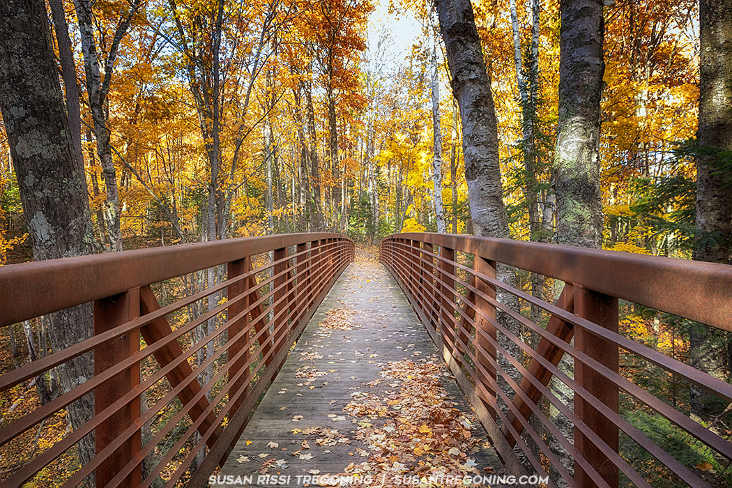
There are 3 different trails down to Lake Superior here: The Easy Route is a .4 mile hike straight down the old beach access road. It is on your right as you enter the parking lot. The Beach Trail is accessed off the easy route down to the beach. It is a lovely walk through the lower portion of the forest. Walkways have been added in a few places the rest is all fairly level but with tree roots. It adds about a 1/4 mile to the easy route. The Ravine Trail is 1 mile long. It is a more difficult hike. Take the ravine bridge directly off the parking lot, you will hike up and over a ravine and through a beautiful boreal forest. This trail connects with the beach trail and takes about 30 minutes one way.
You can access the Red Cliff Band's website information about the park HERE.
The Frog Bay Tribal National Park Brochure can be found HERE. While I was doing my travel research, I stumbled across a news article in the Twin Cities Pioneer Press that told the story of how the previous property owner came to own the land and their desire to see it protected. I found so heartwarming and so interesting that it made me even more determined to visit. If interested, you can read that article HERE. 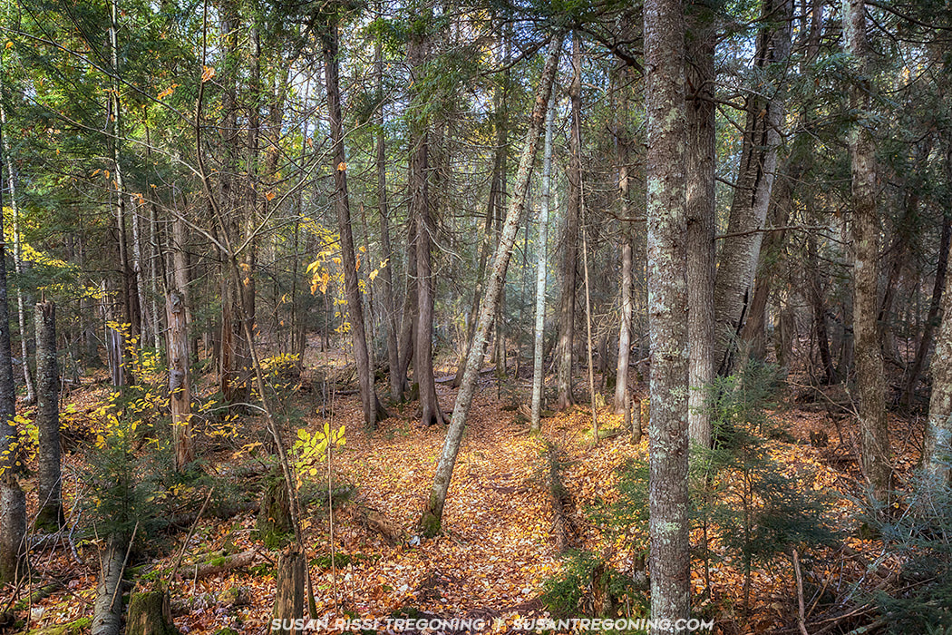
Hiking the Beach Trail through the lower elevation of the boreal forest at Frog Bay Tribal National Park. Most of the trees closer to water level have already lost most of their fall leaves. Notice the small cluster of trees with darker smoother more vertical bark in the center of this image. This is a small grove of Northern White Cedar. These trees thrive in the Great Lakes region. The Anishinaabe culture calls them Nookomis Giizhik which translates to “my grandmother’s cedar”. These trees are the subject of many sacred Native American legends and are a plant on the Ojibwe Medicine Wheel.
When we arrived at the end of the Beach Trail, the Lake Superior water level was so high that the lake was lapping at the top step down to the beach. I wasn't able to get far enough out of the forest to see the beautiful view of the Apostle Islands from this location.
After backtracking down the Beach Trail, we debated on hiking to the end of the Easy Trail in hopes of seeing some of the view but dusk was quickly approaching and we made the decision to head back.
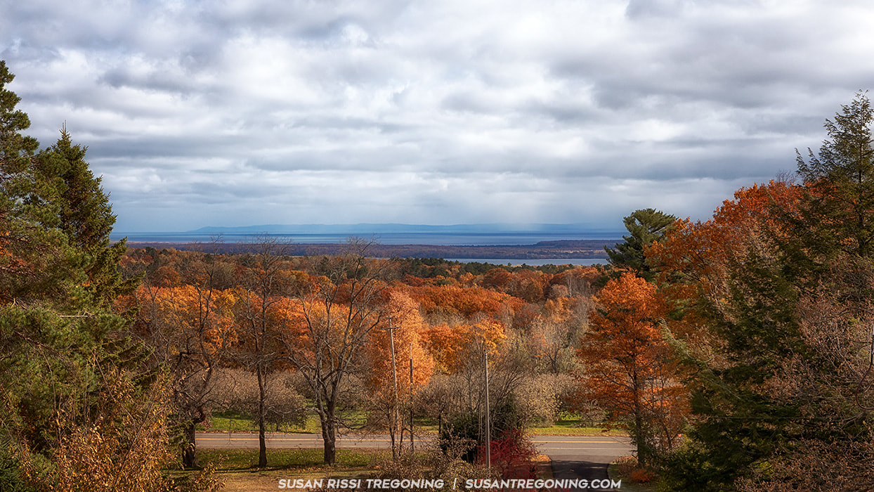
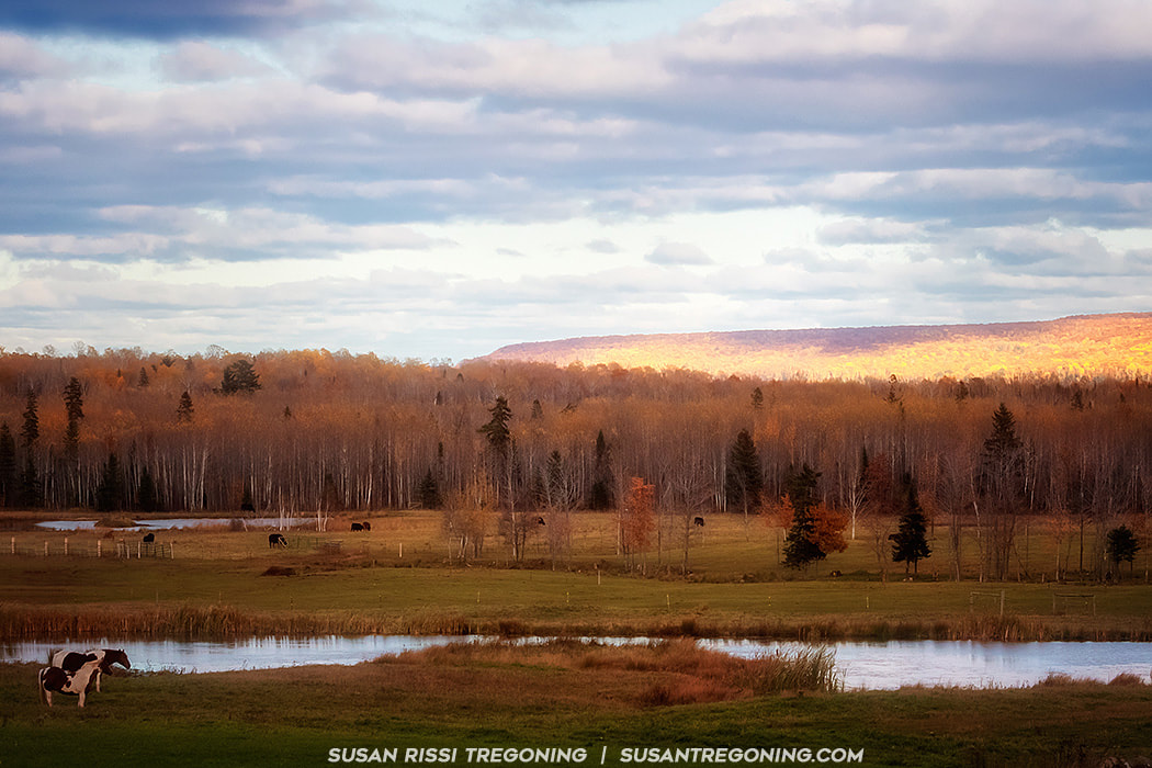
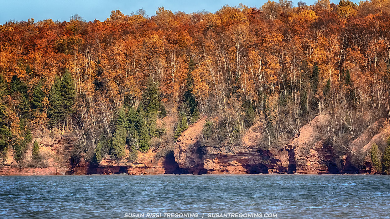
Driving now primarily westward along the north side of the Bayfield Peninsula, the view is open to broad vistas of the south shore of Lake Superior and in the distance the higher hills of northeast Minnesota are clearly visible. Much of this section of the Byway is included in the Apostle Islands National Lakeshore and Wilderness Area.
County Highway K takes you to Little Sand Bay where the town of Russell operates a campground. The Apostle Islands National Lakeshore has visitor information here. There is a historic fishery that is open seasonally and gives tours. Russell Information Kiosk: Little Sand Bay Campground
Little Sand Bay Recreational Area - 32665 Little Sand Bay Road
A popular kayak access point to the Apostle Islands. Hokenson Fishing Dock - Dock built on crib piers in 1927 by the three Hokensen brothers, who ran an independent fishing boat and packing operation out of Sand Island from the 1920s through 1950s. Meyers Beach
This is the location of the mainland sea caves of the Apostle Islands National Lakeshore.
Meyers Beach is located after Red Cliff but 4 miles before the town of Cornucopia on Meyers Beach Road. Easy to find, Meyers Beach Road intersects the byway. This beach has the best access for kayaks in the summer. During the winter months, these sea caves become the world famous ice caves and transform into a winter wonderland. When conditions allow it is possible to hike across a frozen Lake Superior to visit the "ice caves". *On my bucket list! There is a hiking trailhead adjacent to the parking lot where you can hike to the cliffs above the sea caves. It is a rugged hike along the tops of the cliffs with stream crossings and steep slopes. It's approximately 2 miles to the first sea cave overlook. The trail extends about 4.5 miles. There is a boardwalk for the first .7 miles of the trail.
Just past Meyers Beach, the view opens up and the hills of northeast Minnesota are visible in the distance. The Byway makes a steep descent into Cornucopia. The harbor here provides a protected port for commercial fishing vessels and pleasure craft.
Cornucopia AKA Bell Information Kiosk: Bell Marina
Siskiwit Bay is protected and shallow. Just off the beach is an artisan well that runs clear, cold safe water all year long. There are some historic boats here in various stages of decay.
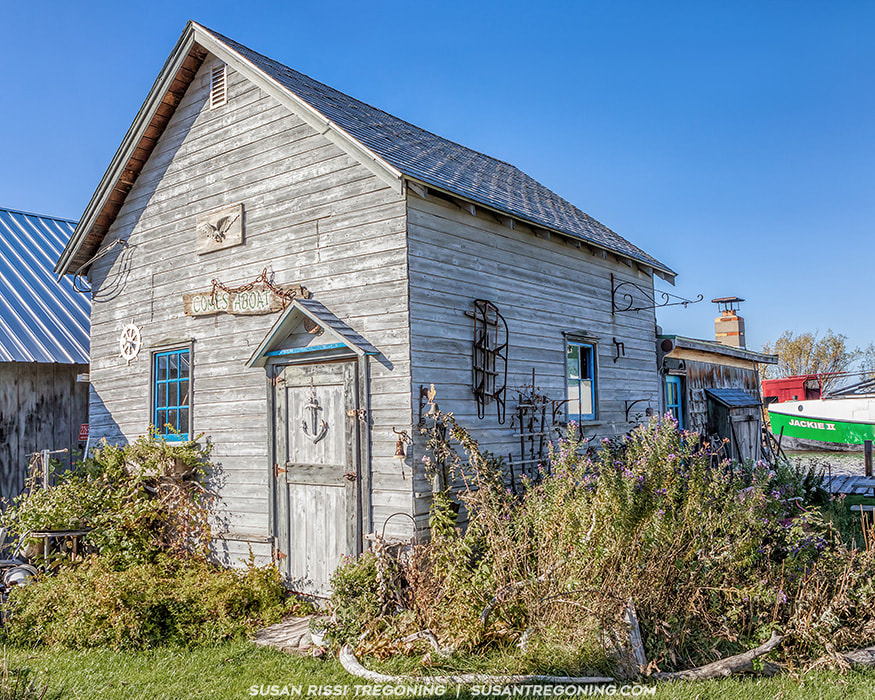
Cornucopia Green Shed Museum - Right next to the beach, I would have loved to visit but it was closed for the season. Ehlers General Store - 88545 Superior Avenue It has been in operation for 100 years! If you have never been to an old fashioned general store it is worth a quick stop. They sell everything, including the kitchen sink! Closed from November to May. Siskiwit Falls - To find the falls, follow Highway 13 in Cornucopia turn on County Road C and take a left on Siskiwit Falls Road. There is a bridge shortly after the turn onto this road where you can access the falls. The falls is located both upstream and downstream of the bridge. Be aware, part of the upstream side flows through private property. The falls consists of a series of drops and slides. The largest is a slide with a height of about 10 feet. There are three others with drops between 2 and 5 feet. The best drop is downstream of the bridge about 1/4 mile. Lost Creek Falls - 22490 Trail Dr 1.5 mile hike one way to a small waterfall. Herbster AKA Clover Info Kiosk: Intersection of Hwy. 13 & Bark Point Road
Historic Log Gymnasium - 86870 Lenawee Road, Herbster
Built by the Works Progress Administration in the 1930s. Bark Bay Slough State Natural Area - Bark Bay Point Road
Leaving Herbster, the byway climbs steeply then crosses deep tree lined ravines that fall steeply to Lake Superior.
Port Wing Information Kiosk: Hwy. 13 near Johnson's Store
An often overlooked little fishing village. Two commercial fishing boats still work out of the Port Wing Harbor. The village retains much of its historical fishing and boating connection to Lake Superior. It is the first harbor of refuge east of Duluth/Superior. There are nearly 2 miles of sandy beaches in Port Wing.
Quarry Point Beach & Boreal Forest - From Highway 13, turn north on Quarry Point Road and follow it back to the little parking lot right near the entrance path to Quarry Beach. Recently named one of the South Shore’s best beaches by Lake Superior Magazine readers, Quarry Beach runs along the boreal forest . Big Pete Boreal State Natural Areas - From highway 13, turn right on Lakeview Road and right on Big Pete Road. A boreal forest and beach. Twin Falls - Directly off of Highway 13 in a small park just west of Port Wing. You will not see the signage for this falls when heading west. It is very near the city limits as you leave town. Once you realize you are out of town, turn around and you'll see the sign on your right just after the Port Wing city limits sign. Facing the gorge from the parking lot, there is a path to the left. This takes you to a viewing platform that is directly above the upper falls. It's an easy hike but you don't have much of a view of the falls from here. There's a nice view of the gorge. It looks like you can cross the stream (you'll get your feet wet) and work around to some stairs on the other side of the gorge for a better view. Facing the gorge from the parking lot, to the right you can easily get down to Larson Creek. You'll get your feet wet but you can walk up Larson Creek to the lower falls. The lower drop is a plunge of about 12 feet.
About 5 miles from Port Wing the byway crosses Reefer Creek and there is a scenic pull out that provides great veiws of Lake Superior. You can see 20 miles across the lake to Knife River, Two Harbors and Silver Bay in Minnesota. From this point on the byway enters dense pine forests.
Orienta Information Kiosk: Scenic pull-out on Hwy. 13
Orienta Falls - Take Hwy 13 west from Port Wing approximately 5 miles, turn south on Orienta Falls Road and continue for 1.25 miles to Falls Spur Rd. The falls is at the former site of the Lake Superior Power Company Dam. Walk a couple hundred yards to the Iron River.
Iron River Brownstone Quarry - Is just below the Orienta Falls. The Quarry began operation in 1893 and continued for many years. The Brule River Boreal Forest State Natural Area - Signs point to the road leading to the mouth of the Brule River. There is a large sand beach where the river meets Lake Superior. This is a world-famous trout stream and the area teems with deer, eagles and the occasional fox, wolf and bear. Cloverland Information Kiosk: Town Hall
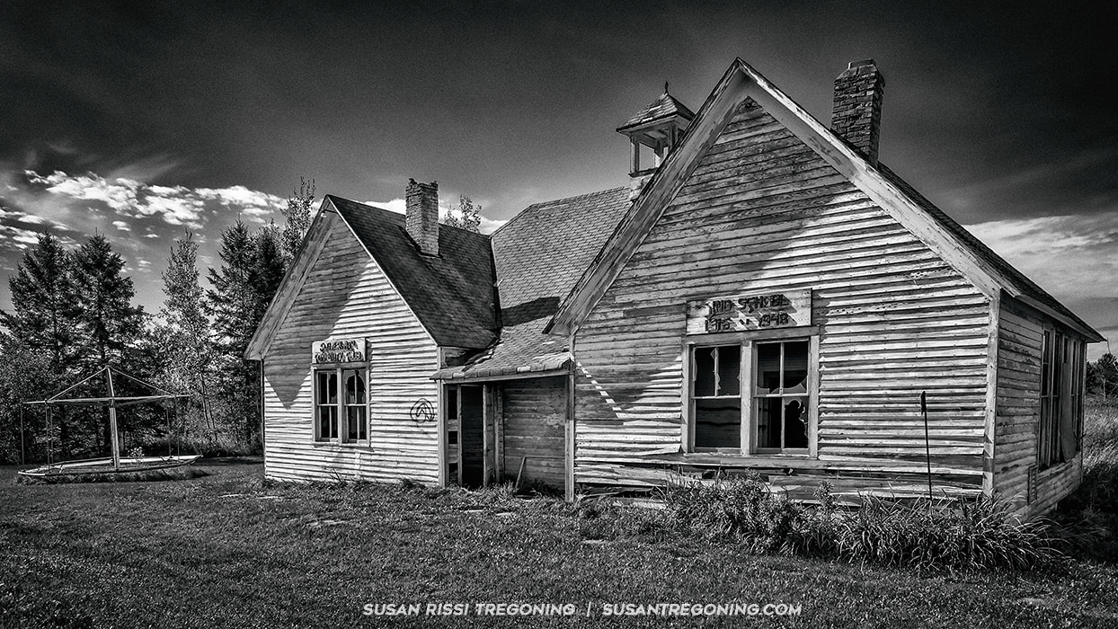
The Old Schoolhouse in Cloverland - Right on Highway 13.
This is an abandoned two room schoolhouse. Two schools, Harvey School and King School, were connected in 1916 by using a horse and sleigh to join the schools. When the school closed down in 1948, it became the Cloverland Community Club, a social hub for the local residents. As the towns population aged and shrank the building was abandoned. If you would like to read more about its history, I found an article in the Duluth News Tribune, you can read that HERE.
The Lake Superior Scenic Byway ends two miles pass the historic town of Cloverland at the Junction of Highway 13 and Country Road H.
More images from my travels through the Bayfield Peninsula can be found in the Wisconsin Collection within The Art Gallery.
See an image you like? You can purchase Susan's work in The Art Gallery. All images in the her collection are available as wall art, fine art prints, on home decor, gift items and apparel.
0 Comments
Your comment will be posted after it is approved.
Leave a Reply. |
AuthorI am the 8th photographer in 4 generations of my family. Back in 2006, my husband accepted a job traveling, and I jumped at the chance to go with him. Categories
All
Archives
June 2024
This website uses marketing and tracking technologies. Opting out of this will opt you out of all cookies, except for those needed to run the website. Note that some products may not work as well without tracking cookies. Opt Out of Cookies |

 RSS Feed